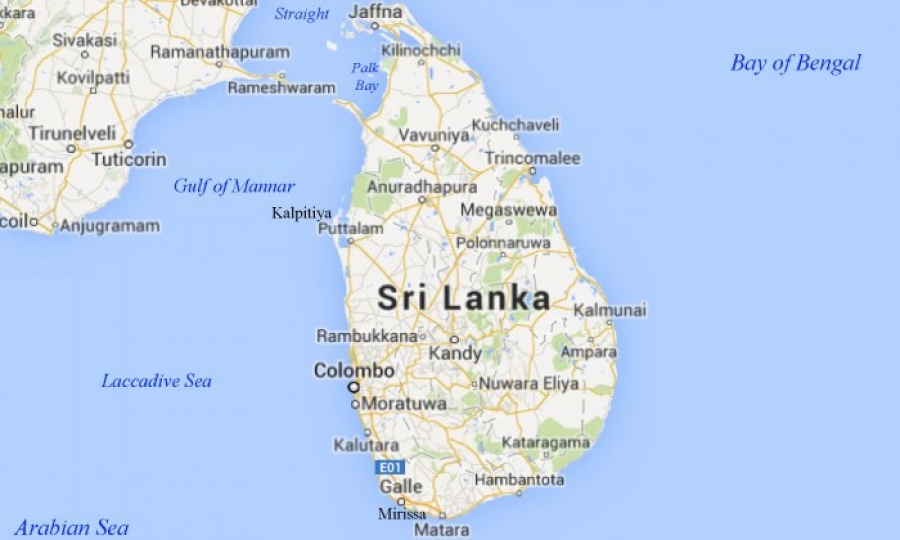
The Sri Lanka Survey Department (SLSD), the national surveying and mapping organisation under the Ministry of Land and Land Development, has taken steps to revise the geographical map of the country after 18 years.
The new map of Sri Lanka consisting of 92 maps in a 1:50,000 ratio is in progress, Survey General of Sri Lanka P.M.P. Udayakantha told News.lk, the Government’s official news portal of Sri Lanka.
During the past 18-year period, the geography of the country had undergone several developments including territorial changes, adding the new Colombo port city, the Survey General added.
The map, which is being developed with satellite technology, will be included in the website of the survey department in the future, the official said.


